topoXpress 1.2.10
Continue to app
Free Version
Publisher Description

topoXpress is an efficient cross-platform GIS and Surveying app. It supports online or offline data collection and processing in the field or in the office environment.
topoXpress provides the following features:
• Multiplatform design: the same software with the same rich functionality for both GIS data collectors and Surveyors on iOS & macOS.
• Handling and displaying large spatial datasets (raster and vector).
• Responsive and intuitive user interface: easy to learn and use, automatic adjustment to different screen sizes, orientations, and resolutions of mobile (iPhone, iPad) and desktop devices.
• Online and offline operation: online data sources (Cloud storage, TMS, WMS, KML), offline raster datasets (jpeg, ecw, ers, tiff, png, lan, bil, ENVI bsq), offline vector datasets (shp, dxf, map, GeoJSON, mif, txt, crd, dat, dbf, tab, mid).
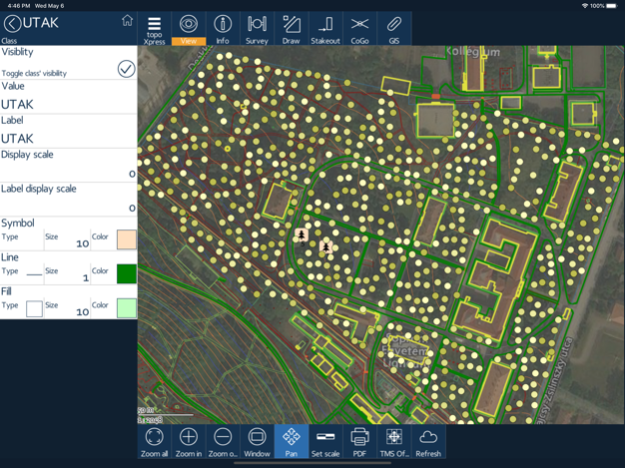
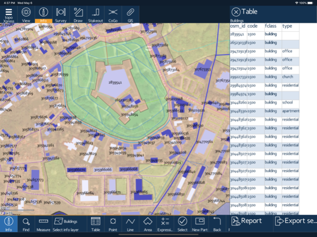
• Powerful GIS visualization functions: thematic mapping, transparency, labeling, query, layer groups, vector symbols, line types, fill types, event mapping.
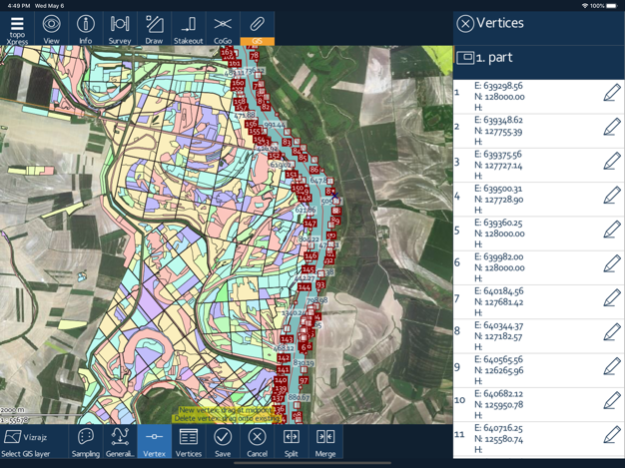
• Productive data collection: templates, surveying, stakeout, CoGo (Coordinate Geometry), forms, lists, calculated fields, GIS editing functions, sampling tool, and more.
• Collaborative mapping for professional users through the topoXpress cloud service.
• Extensive support of GNSS receivers through TCP port & Bluetooth, projection systems, geoids, shift grids. Bluetooth Rangefinder support for CoGo tasks.
The app can be used in many different sectors:
• Field data collection and inspection
• Land Surveying
• Topographic mapping
• Forestry
• Farm mapping
• Utility mapping and inspection
• Archeology
*** NOTE: topoXpress offers all specified GIS functions free of charge. However, loading more than 10.000 records, saving and exporting your job can be done through our cloud service. Please visit our website for further details: https://topoXpress.com
**NOTE ON BATTERY USAGE: The app may dramatically decrease battery life during the use with large spatial datasets. The app supports optional background location services, which can may cause a faster battery drain than usual.
May 4, 2021
Version 1.2.10
NEW# After the app update the new features of the version can be reviewed.
CHG# Size 25 MB limit for PNG raster files
CHG# Thousands separation of numbers
BUG# Single banded raster images in RGB display fix
About topoXpress
topoXpress is a free app for iOS published in the Recreation list of apps, part of Home & Hobby.
The company that develops topoXpress is TopoLynx GIS & Mapping Ltd. The latest version released by its developer is 1.2.10.
To install topoXpress on your iOS device, just click the green Continue To App button above to start the installation process. The app is listed on our website since 2021-05-04 and was downloaded 1 times. We have already checked if the download link is safe, however for your own protection we recommend that you scan the downloaded app with your antivirus. Your antivirus may detect the topoXpress as malware if the download link is broken.
How to install topoXpress on your iOS device:
- Click on the Continue To App button on our website. This will redirect you to the App Store.
- Once the topoXpress is shown in the iTunes listing of your iOS device, you can start its download and installation. Tap on the GET button to the right of the app to start downloading it.
- If you are not logged-in the iOS appstore app, you'll be prompted for your your Apple ID and/or password.
- After topoXpress is downloaded, you'll see an INSTALL button to the right. Tap on it to start the actual installation of the iOS app.
- Once installation is finished you can tap on the OPEN button to start it. Its icon will also be added to your device home screen.
